The Haldimand River is one of those small rivers in rural PEI that doesn’t get very much boat traffic if any at all. The river’s main section (& mouth) lies on the border between the communities of Abrams Village and Maximeville but some of its many small tributaries and source are in Cap-Egmont and St-Timothee.
 |
| Haldimand River, 6.6 km paddle (WD12) |
As shown in the map, the NCC has acquired a fair amount of land around the Haldimand River. They see it as a rare undeveloped salt-water wetland area in PEI. Lately, INT has also acquired properties in the area (St-Timothee and John Paul Road). A tributary of the Haldimand does flow across one of the JP Road INT's properties.
|
|
|
Over the years, I have always use the bridge on R11 as my kayak
launch site. But next time, I should try launching on the river’s east channel from
the Haldimand River Road.
I try to paddle the Haldimand once a year (WD12) but often didn’t get too far due to low tide or high winds. This year’s paddle was on a nice calm day and the tide was reasonably high. The conditions allowed me to paddle my 12ft Wood Duck kayak further up the river than at any other time. In the end, I was blocked by fallen trees across the narrow river/stream. Going further upriver would be a challenge, but would be worth a try in the spring at the peak of high tide. The Hiawatha canoe may be a better option for getting out and hopping over some obstacles.
|
|
|
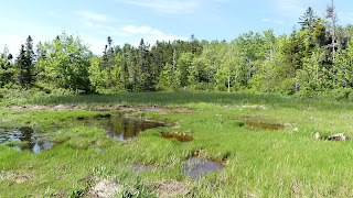
As you go up the Haldimand River, it gets quieter and more pristine! The vegetation in June was very lush and I did make a few observations for iNaturalist. On my next trip, I need to reserve more time for nature observations and photography.
|
|


