Saturday, 19 July 2025

Oyster River, a Foxley River tributary


In July, I made a trip to Gordon’s Wharf with my SW17 kayak. I wanted to expand my exploration of the Foxley/Trout River system. For today, the destination was the Oyster River, which flows into the Foxley River on the west side (just over 1 km south of Gordon’s Wharf). The Foxley River has a big oyster aquaculture industry, and this usually means lots of boat traffic at Gordon’s Wharf and the river – but not today. The oyster diseases (MSX & dermo) discovered over the last couple of years are having a significant impact on oyster farming activities. There’s oyster aquaculture on the Oyster River as well, and nothing was moving.

Oyster River (Foxley River trib)

I hadn’t paddled the short Oyster side river before, since its shoreline is mostly developed (farming, homes, cottages, roads, etc). I paddled both branches of the river as far as Route 12. I was pretty surprised to find a variety of birds – especially Belted Kingfishers. The other bird sightings that I got to post on iNaturalist were Bald Eagle, N Flicker, GB Heron, G Yellowlegs and some species of ducks.

Belted Kingfisher

Belted Kingfisher

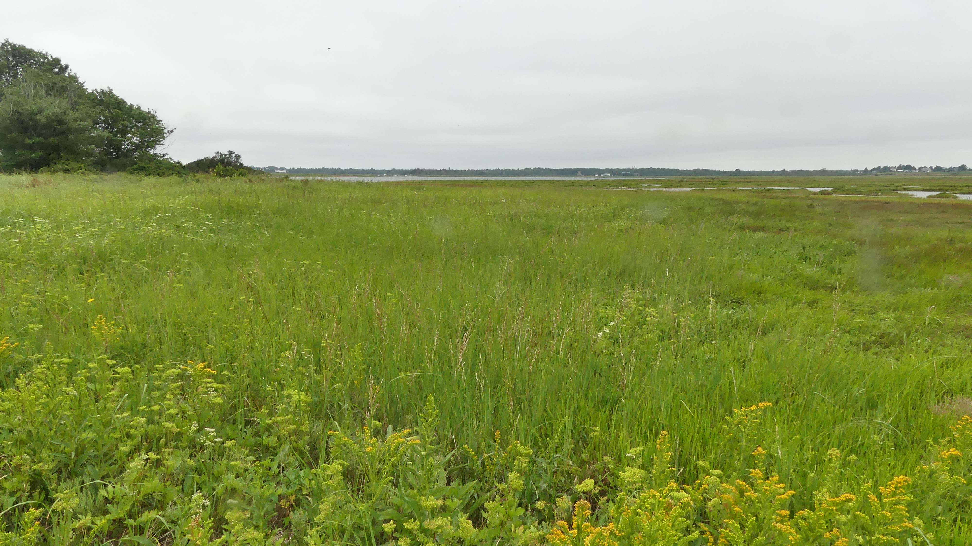
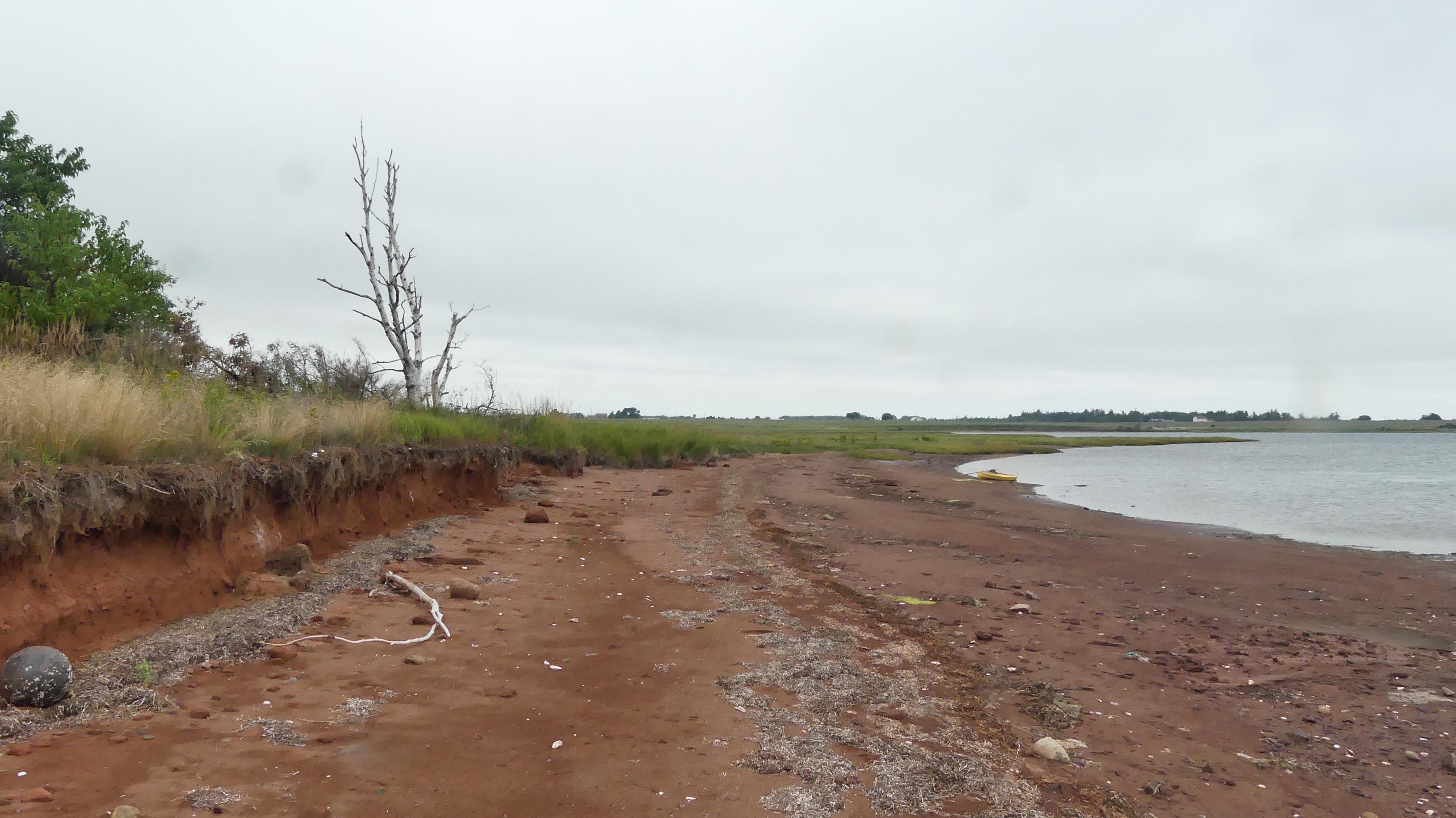
After I was done with the Oyster River, I paddled to Cascumpec Bay (Hardy Pt) for a walk on the shore with the large erratic and marshes. On my way there, I stopped and had a pleasant conversation with a tonging oysterman in the bay between McNally’s Pt and Hardy Pt. On my Cascumpec shore walk, I got pics of the new PEI dragonfly (Seaside Dragonlet). For the summer of 2025, I identified and posted Seaside Dragonlets in the three large bays of mid-Prince County (Egmont, Cascumpec, and Malpeque bays).

Bald Eagle


Northern Flicker
 

Sea gull on large Foxley River erratic

Seaside Dragonlet (Cascumpec Bay)


Tonging for oysters (small bay across Gordon's Wharf)


Saturday, 12 July 2025

The upper Percival River


In 2025, I had two great visits to the upper Percival River. Both trips were by kayak (SW14) and departed from the end of Mill Road (McKies Shore). The paddle distance to the narrow upper Percival creek is about 4 km. If Bay Road were drivable, it would be possible to put in at the Bay Road bridge corner and access the upper Percival via the Bay Rd Creek (2 km less to the upper Percival than Mill Rd).

My tracks to the upper Percival from Mill Rd

On July 12, my destination was the new INT property that lies between the east shore of the Percival River and Bay Road. The new INT lot covers 53 hectares and includes extensive pristine wetlands and mixed forests. The only stop I made on my way upriver was at the NCC Inverness property for some wetland/creek monitoring and to check for the Seaside Dragonlet dragonfly. It didn’t take long to spot multiple Seaside Dragonlets, and that would be repeated at the other three locations that I went ashore on the upper Percival River on that day. 


Seaside Dragonlet

Seaside Dragonlets mating

At the INT property, I went ashore for a walk at both the NW and SW corners. Most of the upper Percival is a large wetland area, with creeks, channels, and scattered pools (pannes or vernal pools). Some care needs to be taken to navigate around these and avoid dead ends, etc. On this trip, I stayed in the marsh area and did not venture into the forest – maybe next year. Also, on a high-water day, I would like to see how far you can paddle up the north branch of Percival Creek – Portage Lake (Hwy 2) would be the end destination!


On October 20th, I paddled to the upper Percival with INT staff (Lance and Cassandra) to check out a lot for possible acquisition (Lot 797944). This lot is on the west side of the Percival main branch and was reached via the west creek. We went ashore within 200m of the first beaver dam. On the upper west creek, there are at least a dozen more beaver dams/ponds. It’s much easier to hop over beaver dams with a canoe, so I’ll have to think of bringing the Hiawatha canoe to the upper Percival someday… 


Marsh eyed Brown


Friday, 4 July 2025

Lower Haldimand River & Estuary, Abrams Village


This summer, I decided to explore the lower Haldimand River and estuary. The estuary includes large saltwater marshes, a long sand spit and a deep-water inlet all the way to Cimetiere Road. Unfortunately (from a nature point of view), there’s some infrastructure in the estuary – the Route 11 bridge, seafood processing plant, industrial wharf, and a few residential homes/cottages.

Haldimand River estuary

A good place to launch is the new boat ramp at the NW end of the Route 11 bridge. On this paddle (WD12 kayak), I first went to check out the sand dune and explore the marsh in the NW corner of the estuary. I looked for Seaside Dragonlet, but none were found here. But, I did find a relatively rare PEI insect inside a Bindweed flower – a Striped Collops (only three posted on iNat for PEI).


Estuary sand spit

Abrams Village wharf under reconstruction

Afterwards, I went under the bridge and ashore to explore the large wetland just south of the bridge on the western shore of the river. One of the first thing I found along the shore were Ribbed Mussels. Apparently, these ribbed mussels can be toxic if collected at low tide. The second natural sighting I made in the marsh was of Seaside Dragonlets. The third observation was a considerable patch of Poison Ivy in front of the small tree stand by the river’s shoreline. It was interesting to see that some Seaside Dragonlets were spending time (e.g. resting) in the Poison Ivy patch.

Seaside Dragonlet on Poison Ivy


Large Poison Ivy patch


A complete visit of the Haldimand estuary would include more exploration in the dune area and paddling the inlet as far as Matt’s shore. A paddle along the inlet would encompass both the shoreline and the sandbar areas. 


Striped Collops (rarely seen in PEI)


Atlantic Ribbed Mussel


Tuesday, 10 June 2025

Governor's Island, Hillsborough Bay


This spring, I was invited to join NCC on its yearly monitoring visit to Governor's Island (GI). I have always wanted to visit GI, but it's a risky paddle to the island in the middle of Hillsborough Bay. The shortest distance to GI would be from the end of Crown Point Road (5 km).


Governor's Island

Our ride to GI was in a small PEI government boat, which departed from the boat ramp at the North River bridge (next to Cow's Ice Cream). From the North River bridge, it's 16 km to GI. Due to headwinds and choppy waters in the early morning hours of June 10, it took close to an hour to reach the GI shore. I was barely warm enough, and my fingers were starting to get cold. Once we arrived, the boat had to anchor in about 2 feet of water – too deep for my rubber boots. So, I took my boots off and waddled to shore in the freezing water. On shore, I dried my feet as best I could before putting my boots back on.

Landed on the north shore

North shore, view to the east
 

Our time on the island was only about one hour. The boat operator (an Arsenault) was worried about the winds and maybe the tides. But an hour was sufficient to quickly explore the complete north shore (approx. 1.2km). I first followed the NCC staff (Hannah and one intern) towards the west end. On the sandstone rocks near the west tip, I spotted a few Harbour Seals. Then, I made my way to the eastern tip with a few short walks inland to check out the flora, fauna, and views. The vegetation is mostly shrubs and grasses. There's a Cormorant colony on the island, and this has impacted many of the remaining trees on the island. Bald Eagles and Great Blue Herons were also observed, but I don't know if they nest on the island.

Harbour Seal


Double-crested Cormorant


The return boat trip was much calmer and took only about 30 minutes. On another visit to GI, I would like to walk along the south shore and perhaps venture a bit inland. 

West end of the island


East end view (NCC staff on shore)


Double-crested Cormorant colony

Bald Eagle - near cormorant's nests


Thursday, 12 September 2024

Trout River, Goff Bridge, Foxley


The Foxley/Trout River waterway is quite large and complex. It flows north to Cascumpec Bay. In addition to the Foxley and Trout Rivers, the waterway system includes the Oyster R, MacDonald R, Portage R, George R, Mary R, and a few other unnamed creeks and inlets. I have paddled and sailed in the Foxley/Trout River system a few times but have not explored the entire area yet. 

Foxley/Trout River system


Paddling track, Merganser kayak (8 km)


On Sep 12, I brought my Merganser 17ft kayak to the Goff Bridge (R12), intending to paddle upriver as far as Highway 2 (Carleton). I didn’t get that far. Also, the tides were not the highest, so I didn’t bother paddling into the side creeks and rivers. On starting, I noticed that the water is very shallow at the Goff Bridge, and the bottom is covered with sharp oyster shells. It’s a good idea to stay in the marked channel.

American Eel trap

Trout River scenery


I went ashore in several places before paddling back to the launch site (Goff Bridge). The first stop was at a sandy point on the eastern shore. There’s a small forest grove here on the riverbank, including a few Eastern White Pines (which are somewhat rare in Prince County these days). I wonder if those Pines are PEI natives or were part of a plantation. I turned around since Highway 2 was still about 2 km away, and I was getting tired.

Yellowlegs


Great Blue Heron


My second stop was at a Black Spruce grove on the western side of the river. After a walk up & down the shore, I made the paddle journey back to the Goff Bridge ramp. There’s still lots to explore on the upper Trout/Foxley River. Next year, I should at least check out the George and Mary Rivers.

Goff Bridge launch site


Common Yellowthroat


Sunday, 18 August 2024

Mary Fraser Island, Lot 16, Malpeque Bay


The best kayak launching spot for reaching Mary Fraser Island is at the end of (Miscouche) Wharf Road. There isn’t a wharf, but it’s a busy launch site for the oyster aquaculture farmers. The old Miscouche wharf site is also well situated for exploring the SE corner of Malpeque Bay. Today, my main focus was Mary Fraser Island. Is it really an island? Why is it called Mary Fraser? 

My paddle track, WD12 kayak (8 km)


It was a fairly windy morning, so I started paddling east to check out Beaton Creek. It’s a nice natural creek/wetland with shoreline salt marshes areas. The end of the navigable inlet is only 600m from the Summerside airport runway. After Beaton Creek, I crossed Bentick Cove to the back of Mary Fraser Island to see if I could go around. No luck – maybe if the tide was higher. Then, I went ashore at the NE corner of the forested area (about 2 acres). After some exploring, I started the return paddle towards the Wharf Rd launch. Due to the high wind and falling tides, I left Clarks and Black Bridge Creeks for another day. I paddled halfway up Carrs Creek before returning to the launch site. 

Lesser Yellowlegs


Bald Eagle


I’ll be exploring this area more over the following years. On the list will be another look at Mary Fraser Island, Burnt Point, Clarks Creek, etc. 

Nature sightings posted to iNaturalist are HERE.

Mary Fraser Island marshes


Not this way!


Mary Fraser shore, east side

Slemon Park & Summerside windmills


Bonaparte's Gulls